Project Type
Surveying
Project Location
Detroit, Michigan
Owner
Detroit Economic Growth Corporation
500 Griswold, Suite 2200
Detroit, MI 48226
Services Performed
ALTA/NSPS Land Title Survey
Topographic Survey
Tree Survey
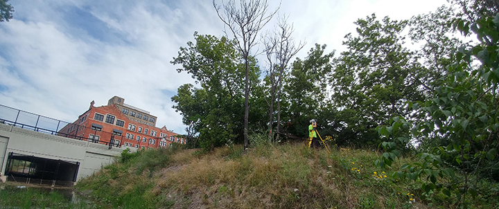
The City of Detroit Economic Growth Corporation (DEGC) contracted with NFE to prepare surveying documents to facilitate the purchase and design of properties associated with the Beltline Greenway project in the City of Detroit. Beltline Greenway when completed will be a 1.5-mile trail, for walking and biking, to connect the neighborhood to the Detroit River.
NFE prepared ALTA/NSPS Land Title Survey and topographic survey for the area between the streets of Belleview and Beaufait from Kercheval Avenue to Jefferson Avenue for the Phase I of this project. Phase II involved the preparation of ALTA/NSPS Land Title Survey, topographic survey and tree survey in the same area as Phase I but from Jefferson Avenue to the Detroit River.
The work included coordination with the City of Detroit DPS to clean all sewers within the project limits to assure existing infrastructure would support the proposed improvements.
The trail when completed will follow a former railroad called the Beltline that connected the Uniroyal site on the Riverwalk and headed North to the Gleaner’s Community Food Bank on Beaufait Street just north of Kercheval Avenue. In anticipation for this project, the City of Detroit rebuilt the East Jefferson Avenue bridge.